Digital experience services to enhance outdoor adventures
Whatever outdoor adventure you choose, we’ll make your digital experience the easiest part of the journey.
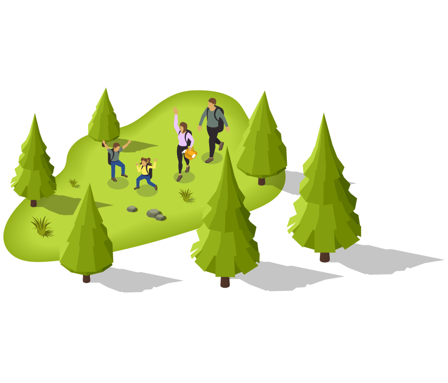
Data-driven adventures
Flexion enables outdoor and environmental organizations to make smarter, faster decisions by transforming complex datasets into clear, actionable insights. Our data integration and visualization services help land managers, scientists, and public stakeholders access the information they need—whether monitoring environmental conditions, managing public land use, or communicating impact. We support scalable analytics platforms, custom dashboards, and geospatial visualizations built for both policy and field use.
- Ingest and unify data from sensors, surveys, GIS layers, and partner systems
- Consolidate scientific, operational, and visitor data across locations or jurisdictions
- Enable integration with third-party platforms like ArcGIS, Recreation.gov, and environmental monitoring tools
- Design real-time dashboards for water quality, trail usage, visitor feedback, and field operations
- Create custom visualizations and reporting tools tailored to specific stakeholder needs—from field staff to agency executives
- Support map-based storytelling and data exploration with user-friendly, public-facing interfaces
Technology for the trail ahead
Flexion’s innovative work with public agencies and nonprofits is changing how people discover and enjoy the outdoors. From normalizing fragmented trail data across the U.S. to enabling smart wayfinding and trip planning, we turn vision into reliable, scalable technology.
- Transform outdated systems, maps, and PDFs into modern, searchable platforms
- Modernize trail apps, kiosks, and planning tools
- Lead product discovery with real users, including field staff, volunteers, and people with disabilities
- Conduct rapid prototyping and usability testing to ensure intuitive, mission-aligned digital experiences
- Ensure standards-compliant APIs using Open Geospatial Consortium (OGC) formats for seamless data sharing and visualization
- Integrate field sensor data, discrete measurements, and site metadata across platforms
- Enable transparency for public and scientific use through consistent, accessible data interfaces
Custom development as unique as you are
Flexion specializes in custom software development, offering expert teams in product and content development, application modernization, and systems integration. We ensure that your solutions are secure and meet regulatory compliance, whether launching something new or modernizing existing solutions.
- Scalable, cloud-native pipelines for environmental and geospatial data using tools like Apache Airflow, AWS Glue, and Iceberg
- Auditability and reproducibility to support research, compliance, and long-term data stewardship
- Secure infrastructure in AWS GovCloud using infrastructure-as-code (CDK) and CI/CD pipelines aligned with federal security standards
- Large-scale environmental modeling, trend analysis, and data synthesis through performant, user-oriented platforms
- Collaborate with scientists and field experts to deliver tools that accelerate research, cross-agency collaboration, and open science impact
Our success stories
Flexion has led the design and delivery of large-scale digital platforms that mirror the needs of outdoor agencies and communities—configurable, compliant, and responsive to users in the field and in the office.
| Agency / System | Operational & Mission Impact |
| U.S. Forest Service – ePermitting & Digital Tree Tags | Transformed paper-based permitting into digital workflows. Integrated login.gov, pre-populated internal systems via API, and enabled printable tags with spatial overlays. Boosted user satisfaction and operational efficiency. |
| CMS – Claims Adjudication Platform | Delivered a scalable platform for complex rule-based processing and regulatory compliance. Features like automated review, secure documentation, and multi-stakeholder workflows mirror needs in permit evaluation, resource allocation, and trail project approval. |
| DOJ – U.S. Trustee Program | Replaced a mainframe-based case management system used by 90+ offices with a modern, cloud-native platform. Features include configurable workflows, secure data access, and audit-ready reporting—paralleling many DNR and land management case systems. |
| ACF – OPRE Portfolio System | Developed a modular tracking platform for managing research projects and operational oversight—analogous to outdoor projects involving multi-year trail restoration, environmental monitoring, or funding allocation across jurisdictions. |
| GSA – TTS / Notify + USWDS | Supported public-facing digital tools and design systems used by 94+ agencies and 1.2B monthly web visitors. These open-source solutions improve accessibility, communication, and design consistency for outdoor agencies and partners alike. |
| Inclusive Recreation – GSA | Worked with the USFS National Accessibility Program to lead a research-driven initiative to develop an Accessibility Recreation Content checklist, to support narrative content on trail slope details, sensory experience previews, and more. |
| Transforming Access to U.S. Water Data at Scale – USGS | Helped USGS reimagine how its water data supports scientific research and environmental decision-making, using Open Geospatial Consortium (OGC) standards, enabling easy integration with research platforms and policy data, and allowing users access to real-time information. |
Explore new ways to deliver best-in-class digital experiences for outdoor adventure
Contact Flexion to see how we can help you deliver digital experiences that make a difference.